Lincoln still has a good Market Hall which is where Sue spent the morning,
I went to the Lincolnshire Archives to check out a few facts about our
destination Bellingham Skirth, so we did not leave our Glory Hole
mooring and enter the Witham Navigation until about 2:15.

The first lock out of Lincoln has an automated guillotine
which requires a CRT key, all very simple.
It was an absolutely beautiful warm day but as soon
as we were on the open river a coat was required.
At first the wide open way ahead is exhilarating,
but this soon changes to boredom as the high banks seem to
be endless, not even a wind farm to break the monotony.


Some interest is created by a series of sculptures,
the cows are particularly striking.
The stone church at Fiskerton provides an all too brief reference point as do a few lonely
CRT pontoon moorings, Bardney lock is home to a plastic boat club who steadfastly
refused to acknowledge our arrival, presence or departure.
A very miserable lot.
Bardney lock is the last place for water before Landrick Bridge or CRT water at Boston.
As we had started so late and we had spent so much time trying to get water from the
Bardney Lock upper tap (gave up and had to drop down to the tap below the lock) we
pushed on to Martin Dales pontoon mooring arriving at 7:15pm just as the light
was beginning to fail. So a quick tie up and off to the Railway Pub (with Internet)
for a home cooked meal.
The Railway is a CAMRA pub and had four beers on tap, they also had four Lagers
& a Cider under gas, being a Friday night it was full enough to make for a pleasant atmosphere.

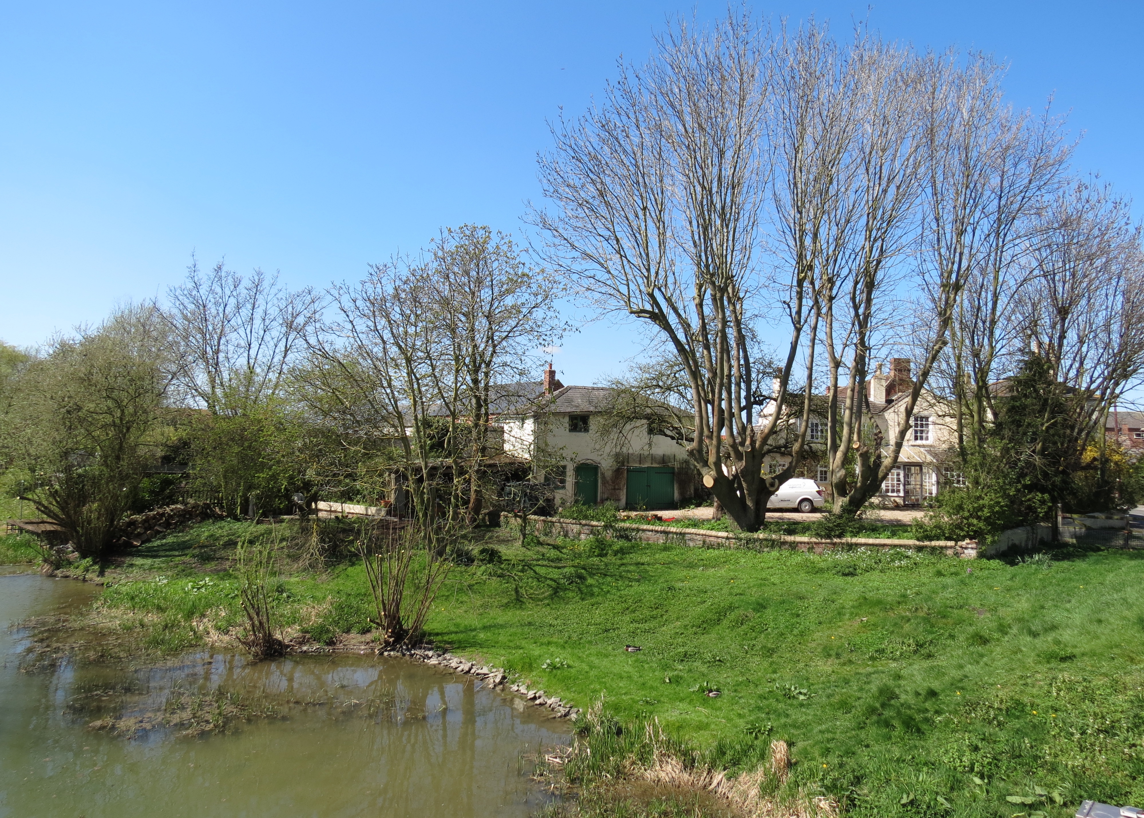
Early next morning the picturesque,
former station was bathed in warm sunshine under a bright blue sky,
so you can imagine my consternation to find that the boat was
covered in ice and the back deck & pontoon were both lethal.
So after checking the engine water levels, another cup of tea was consumed.
The warm sun soon did its work and we were finally off by about 8:30am.

More high banks but this time above the banks we could see
several collapsing old farm buildings and houses.
I had read about this problem in east anglia some time ago.
When the rivers were formed they deposited gravely silts
which then over time became compacted and solid,
meanwhile the bulk of the fibrous soils observed
water from the rivers and formed the fens.
In the 16th & 17th centuries the lands were drained
and many waterways were relocated to suit the will of the land developers.

As the land was drained the peats & soft soils shrank and sunk and the silts did not.
Houses built across both the deposited silts and soft soil also settled at different rates.

We continued past the entry to Timberland Delph – we intend going back for that.

Then the sealed up entry to the closed Horncastel canal.

The next one was ours, Billinghay Skirth
first the road bridge.

Then the flood doors.
The doors are prevented from opening fully by the
timber struts which can be seen at the top of each door.
Thus only narrow boats can enter.
The struts ensure that the gates will automatically
close when the Witham goes into a flood condition.

Through the gates and the Skirth is deep and wide until the pumping station winding hole.

The locals found us most interesting following us intently through 180 degrees.

The skirth narrowed as we approached the village, the concrete
fins mask the non return valve of the Car Dyke as it joins the Skirth.
Several 19th Century Directories describe Billinghay as being located on the
Navigable Car Dyke and from this point on maps often refer to the waterway
as such. The last building on the right is an ex warehouse
adjacent to New or Church St Bridge.

The end of the line for us, we could just get under New Bridge
but felt the benefit would not justify the effort.
We were told by the resident at the old wharf that this
was a turning area but that the EA have not been dredging
the area properly and the winding hole has now silted up.

The bridge height was 5′-3″ when we arrived but the water level dropped about 2″
over the course of the thee days we were moored at the bridge.
(from the top of the concrete plinth at the water line the opening is 5′-4″)

The very pretty reach between Old & New Bridge

The old turnpike bridge with the toll office & warehouse,
unfortunately the building is about to be demolished
and re built at a smaller scale.
The old wharf and winding hole where the Gilbert
family ran a number of business ventures.
The winding hole & wharf area has become so silted that the local
fire brigade drove down onto the silt to re-fill their appliances.

The village is not outstanding but has some interesting buildings,
a Co-Op/Post Office and a few pubs & hair dressing salons.

But one of the most interesting innovations in the village is the erection
of sign posts with Magic Lantern type drums at hand height which have
viewing slots cut in its circumference.


We absolutely love your blog and find almost all of your post’s to be what precisely I’m looking for.